Public Access Birding Sites in Cumberland County, Kentucky
If you have information about other public access birding sites in this county, please send details to me at this e-mail address:
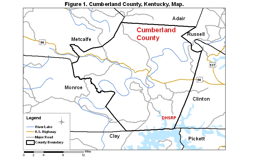
Cumberland County covers an area of 805 km2 (310.9 mi2). A map (Figure 1) of the county—with the some sites noted below coded on it—is available via the following link:
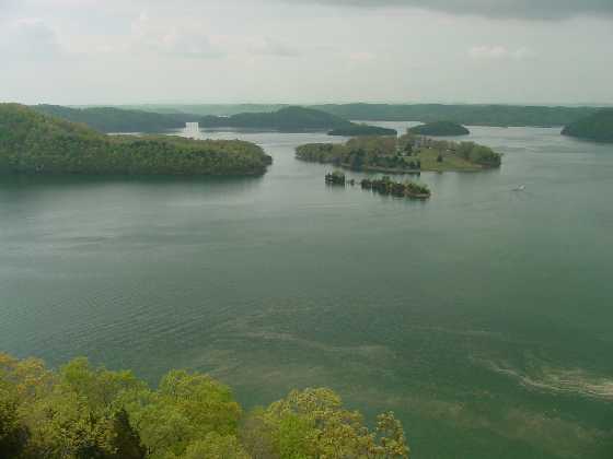
Dale Hollow State Resort Park (DHSRP) is one of the better birding sites in Cumberland Co., KY. To reach this fairly remote park, take Rt. 53 north from Celina, Tennessee, or Rt. 61 south from Rt. 90 in Burkesville, Kentucky, to Rt. 449 to the east; in 0.8 km [0.5 mi] go left, staying on Rt. 449, and in 8 more km [5 more mi] go right (south) on Rt. 1206, which ends in the park. See the page on Public Access Birding Sites in Clinton Co., KY, for birding information in the park.
|
|
| View of Dale Hollow Lake from the overlook at the end of the Eagle Ridge Trail, Dale Hollow Lake State Resort Park, Cumberland Co., KY, 20 April 2002; photo SJS. |
Please send details about any birds you record in these areas—or any public access site in Cumberland Co., KY—to me at the e-mail address noted above. sjs.
Quick links to other sections of this website: