Public Access Birding Sites in Warren County, Tennessee
If you have information about other public access birding sites in this county, please send details to me at this e-mail address:
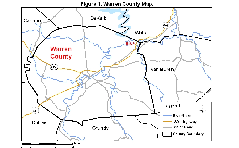
Warren County covers an area of 1124 km2 (434.1 mi2). A map of the county—with the some sites noted below coded on it—is available via the following link:
Rock Island State Park (RISP) is a fine birding site located in southern White County and in northeastern Warren County. The Caney Fork River runs through the park, which lies on both sides of the river. Access to this park may be gained from Hwy. 70S either from Sparta to the north or from McMinnville to the south. If coming from I-40 to the north, go south on Rt. 111 from Cookeville 19.5 miles to Rt. 70S; then go 11 miles further south on Rt. 70S to the intersection with Rt. 136 on the right. Take Rt. 136 about 1.25 mi and turn left just before a Phillips 66 gas station/convenience store on the left; from that intersection go one mile, crossing the bridge over the Collins River, at which point you are in the park; from the far side of the bridge go 1.45 miles to a park road on the right.
Take this road about 0.35 miles and turn right at the sign for Area 3; from the end of this side road, you may walk downhill on the Eagle Trail (not a loop trail)—or continue past the road to Area 3 another 0.7 miles to Area 4; from the parking lot to Area 4 you may walk uphill on the Eagle Trail. The Eagle Trail meanders for about a mile along the river and through deciduous forest; woodland songbirds occur in season. Note: noise from the rapids on the river can affect your ability to hear songbirds along parts of this trail.
If you continue past Area 4 a short ways on the main road, you will come to a large parking area at the end of the road. There is a view of one of the upper portions of Center Hill Lake at this site. Prothonotary Warblers breed along the lake edge here in most years; a few water birds are usually in evidence out on the lake.
The Collins River Trail is a 2.5-mile loop that offers easy walking and fair birding in any season. The trailhead for this loop is near the Great Falls Powerhouse, about 0.65 miles by road from the bridge over the Collins River. The parking area/trailhead for the trail is on the left if you are coming from the bridge over the Collins River. The trees along the trail form a deciduous-coniferous forest, so the species assemblage found here is slightly different from the assemblage found along the Eagle Trail. Pine Warblers occur as breeders in most years. Southern pine beetles did not damage the pines near this trail to any appreciable degree.
The riverbed below the dam is a good place to scan for Yellow-crowned Night-Herons during spring, summer, and early fall; more common herons are often visible from this vantage point as well. Since it is not permitted to stop a car on the dam, park at either end and walk to the center; a scope is handy in birding this site within the park.
A check-list of birds observed in the park may be viewed by clicking on the red word at the beginning of this sentence.
Please send details about any birds you record in these parks—or any public access site in Warren Co.—to me at the e-mail address noted above. sjs.
Quick links to other sections of this website: